

Field notes · The road trip
Orange County Photo Locations

Every one of these is a place I've actually stood in with a camera, usually at the exact moment the light went good. Twenty six stops, running north to south down the county, with notes on the light, the tide, the crowds, and whether the dog can come.
steal it for your own weekend photos if you want. I really don't mind.
Jump to
Good for
tap a pin or a card for the full notes.
The beaches · Stops 01 to 10 · North to south
check the tide before you fall in love with one. the ocean does not care about your schedule.
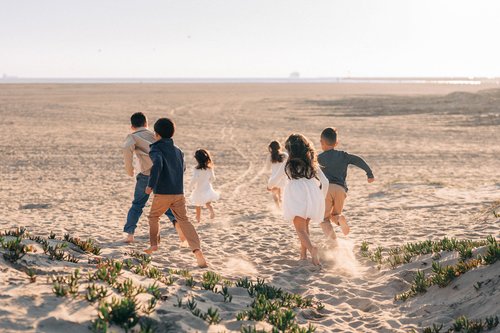
Seal Beach Dunes
Seal Beach Ice plant dunes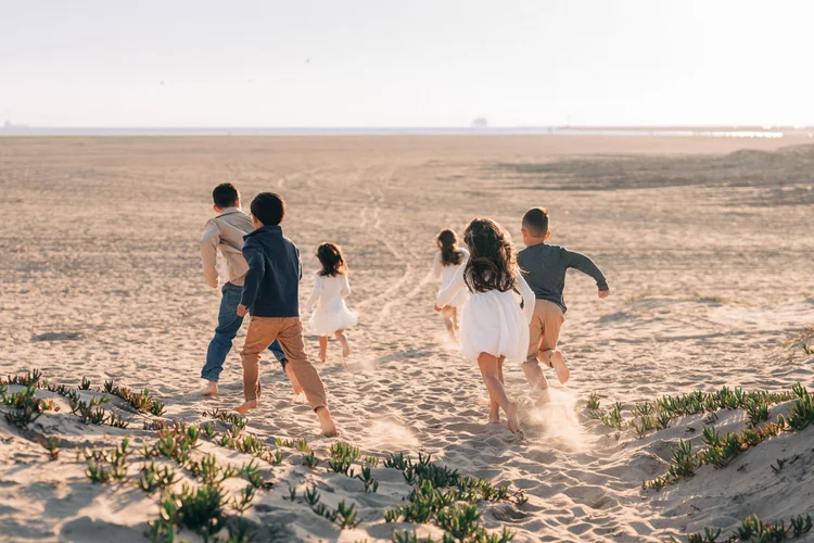
you will find sand in your car for a month. worth it.
Seal Beach · 33.74° N · 118.11° W
Seal Beach Dunes
Honey-gold dunes edged in ice plant, with enough rolling terrain that kids stop performing and start running. Wide open sky in every direction.
Why dunes happen
Dunes build when the sea breeze pushes dry sand inland until something, usually a plant, makes it stop and pile up. California has lost about 60 percent of its coastal dunes since the 1850s, and the most built-up parts of Southern California lost nearly all of theirs, so a set you can still run down is a small treat. The ice plant holding these together is from South Africa, brought over in the early 1900s to steady railroad tracks.
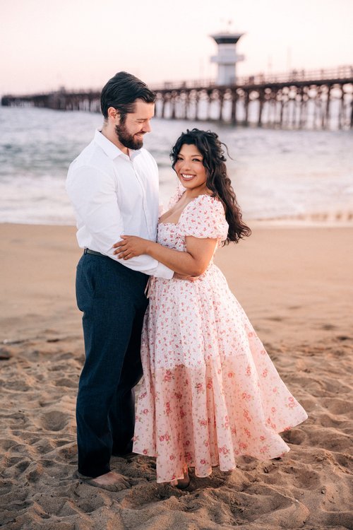
Seal Beach Pier
Seal Beach Wooden pier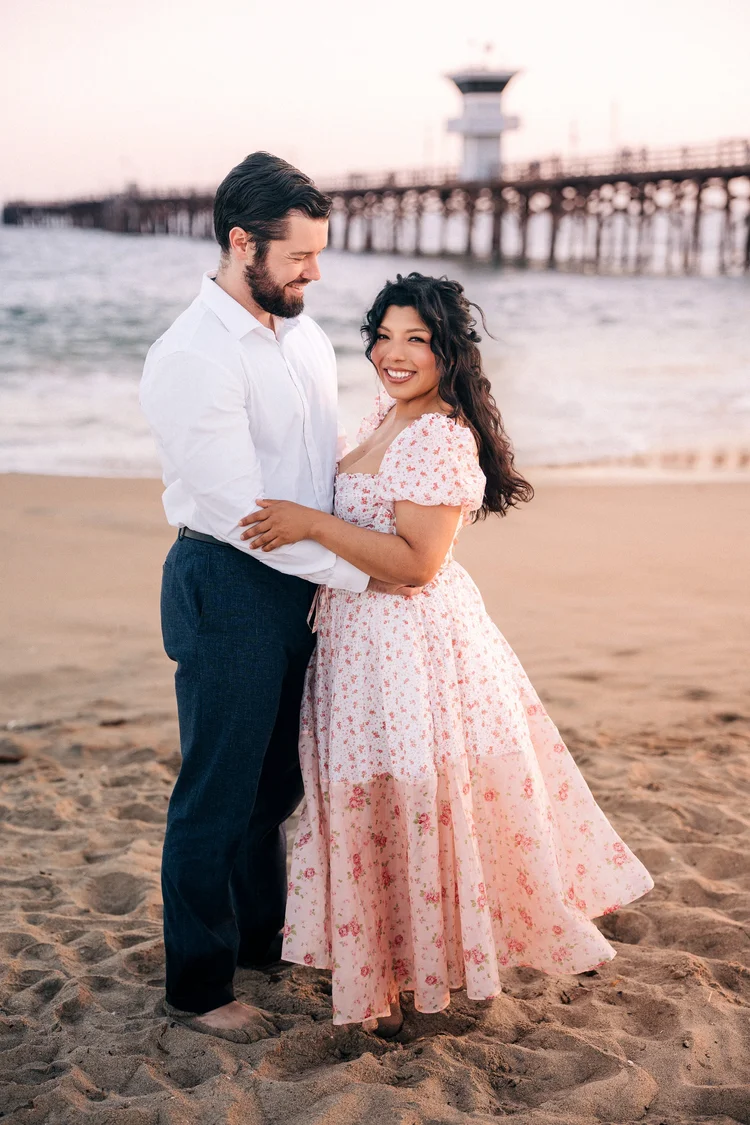
the whole town moves half a beat slower than the rest of the coast.
Seal Beach · 33.74° N · 118.10° W
Seal Beach Pier
One of the longest wooden piers in California, at the end of a Main Street that is happily stuck around 1965 and has no plans to leave. The sand runs wide and flat and the waves stay polite.
A little history
The first pier went up in 1906. A storm took it down in 1935, the WPA rebuilt it in 1939, and at 1,865 feet it is still one of the longest wooden piers in California. Every pier on this list has been knocked down by the ocean at least once. This one just got back up quicker than most.
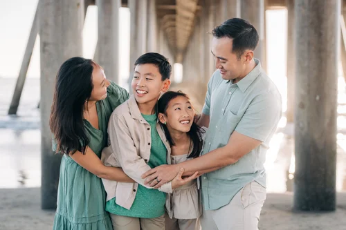
Huntington Beach Pier
Huntington Beach Surf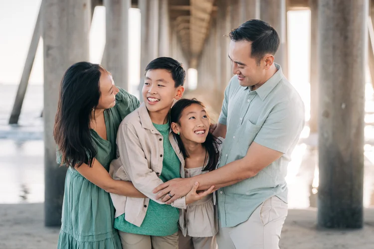
let the surfers in. in fifteen years that's the detail your kids point at.
Huntington Beach · 33.66° N · 118.00° W
Huntington Beach Pier
Classic California, full stop. The pier glows as the sun drops, and the surfers trading waves in the background are absolutely going to end up in your family photos.

Balboa Pier
Newport Beach Pier and park
the fun zone is a short walk away. two looks, one session, nobody moves the car.
Newport Beach · 33.60° N · 117.90° W
Balboa Pier
Wide flat sand, a wooden pier over the water, and grassy Peninsula Park at the base for when the little ones are done with sand. The Fun Zone is a short walk up the boardwalk.
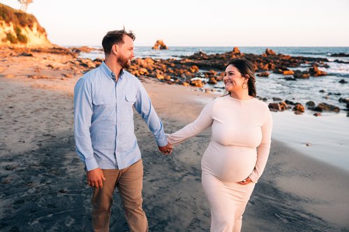
Little Corona del Mar
Newport Beach Tide pools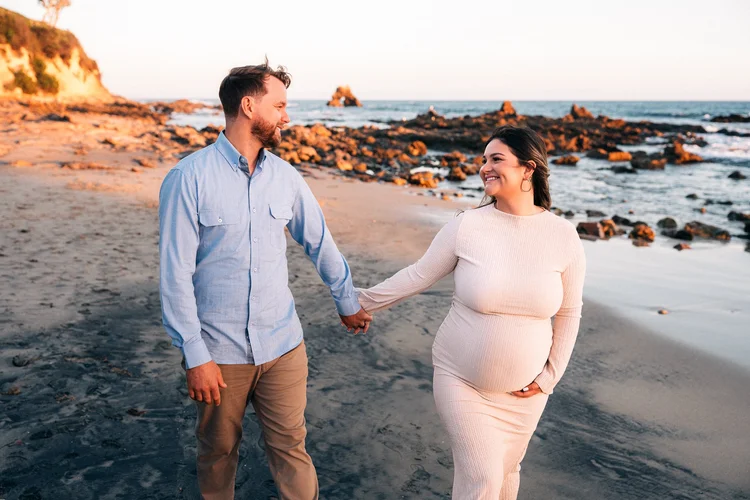
the tide pools here are the fastest way I know to make a seven year old forget a camera exists.
Newport Beach · 33.59° N · 117.87° W
Little Corona del Mar
A pocket cove at the end of Poppy Avenue with Arch Rock offshore. The tide pools are protected and absolutely teeming.
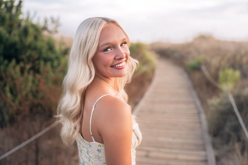
Crystal Cove
Newport Beach $100 permit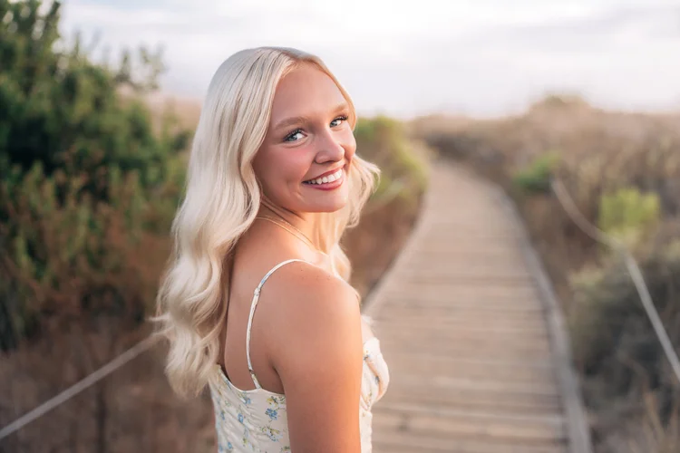
the permit, the parking, the tide chart. three hoops, one very good hour.
Newport Beach · 33.57° N · 117.84° W
Crystal Cove
Wildflower bluffs, tide pools below, 1930s cottages, and a clifftop path tying it all together. More variety in one stretch of coast than most locations manage in total.
A little history
The cottages went up in the 1920s and 30s, first as a Hollywood stand-in for the South Seas and then as a summer camp that the same families held onto for generations. The state bought the whole cove in 1979. You can still rent a cottage for the night if you book months ahead and get lucky.
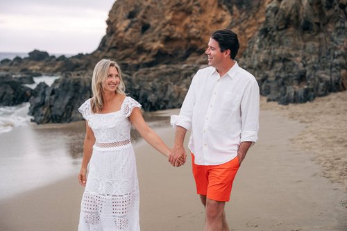
Crescent Bay Beach
Laguna Beach Easy stairs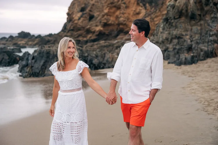
easy stairs, polite sea lions, and absolutely no parking in july.
Laguna Beach · 33.55° N · 117.80° W
Crescent Bay Beach
A hidden cove on the north end of Laguna with dramatic rocks, tide pools, and an overlook that takes in the whole crescent at once. The walk down is easy; summer is the catch, when parking disappears and the sand fills up.
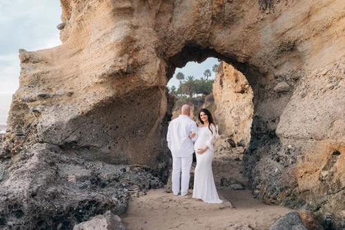
Treasure Island Beach
Laguna Beach Sea cave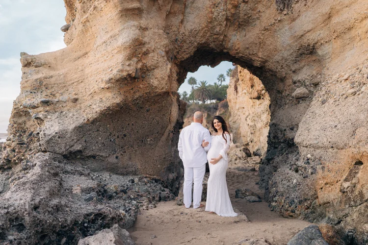
some evenings there are more photographers here than sea anemones.
Laguna Beach · 33.51° N · 117.76° W
Treasure Island Beach
Rocky coves, tide pools that are practically an aquarium, and an actual sea cave. It asks for more patience with a tide chart than anywhere else here.
Tide pool math
Tide pools are at their best on a negative tide, when the water drops below the average low and the reef shows off everything it usually hides. In Southern California those land before sunrise in summer and in the late afternoon in winter, peaking around December and January, which makes a winter sunset the best tide pool light of the year.

Strands Beach
Dana Point Lots of stairs
the most stairs on this list. your legs will complain. the view wins.
Dana Point · 33.48° N · 117.72° W
Strands Beach
Rolling waves, big coastal views, and enough room that you never end up dodging someone else's beach towel. Getting down takes more stairs than any other beach on this list, which is exactly why it stays so uncrowded.
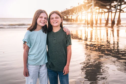
San Clemente Pier
San Clemente Train at sunset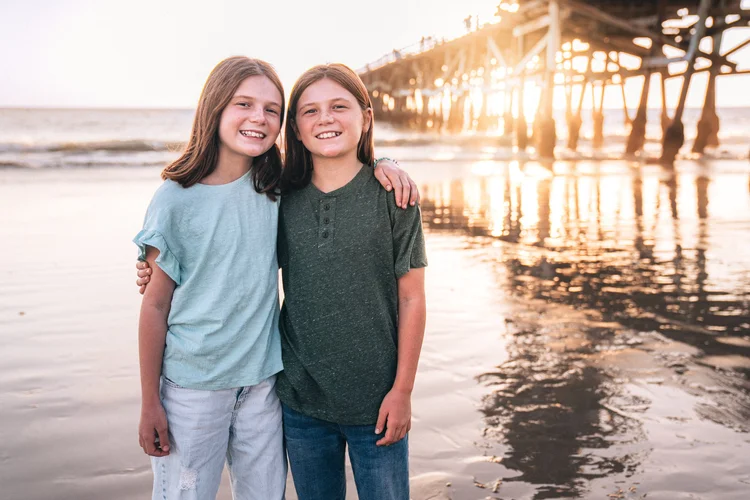
stand on the north side and wait for the train.
San Clemente · 33.42° N · 117.62° W
San Clemente Pier
A wooden pier from 1928 with a train line running along the sand behind it, so every so often the entire background rolls past at fifty miles an hour. Late in the day the sun drops into the gap under the deck and comes through the pilings in bars.
A little history
Ole Hanson founded the town in 1925 as a Spanish village by the sea and put the pier in three years later. The storms of 1939 and 1983 both took chunks out of it, and it got rebuilt both times, which is more or less the story of every pier on this coast.
Halfway down the coast
the best spot is almost never the prettiest one. it's the one where everybody forgets I'm there.
Parks and trails · Stops 11 to 23 · North to south
most of these let the dog come, which is usually the deciding vote anyway. the two that don't are marked.
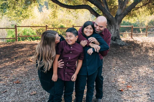
Carbon Canyon Regional Park
Brea Live oaks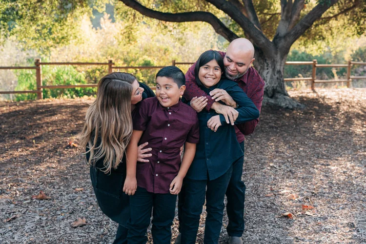
forgetting you're being photographed takes about eleven minutes here.
Brea · 33.92° N · 117.85° W
Carbon Canyon Regional Park
Live oaks, a rustic wooden fence, and a meadow borrowed from a fairytale. The northeast corner is where I always end up, and I've stopped pretending otherwise.
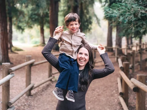
Redwood Grove Trail
Brea Redwoods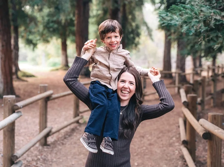
yes, redwoods, in orange county. the story's right here.
Brea · 33.92° N · 117.84° W
Redwood Grove Trail
A genuine redwood grove that most people living ten minutes away have never heard of. Cool, quiet, and completely out of place in the best way.
How it got here
In the seventies a local bank handed out redwood seedlings to anyone who opened an account. When the promotion ended they donated the leftovers to OC Parks, who planted them right here. So there is a redwood grove in Orange County because of a checking account giveaway. This is my favorite piece of trivia in the entire county.
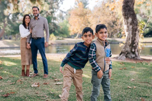
Yorba Regional Park
Anaheim Fall color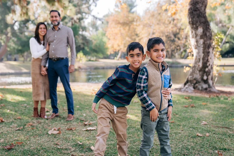
this park has my whole heart and I'm not being subtle about it.
Anaheim · 33.87° N · 117.78° W
Yorba Regional Park
Golden trees, a lake full of extremely confident ducks, and a wooden bridge that looks like it was built specifically to be photographed. Beautiful in every season, but late fall is the show.
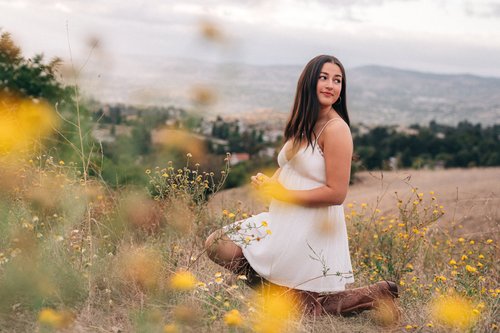
Weir Canyon
Anaheim Hills Wildflowers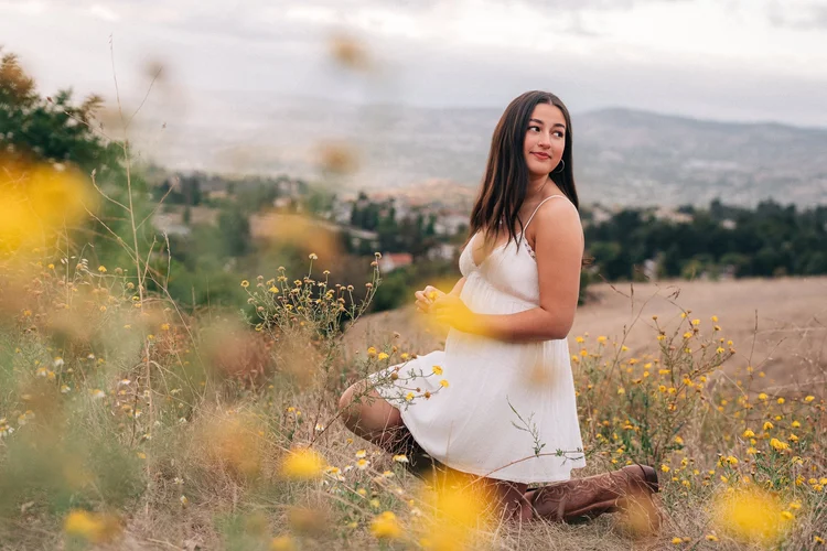
wear shoes you're not emotionally attached to.
Anaheim Hills · 33.85° N · 117.73° W
Weir Canyon
Real California wilderness hiding behind a very ordinary neighborhood. Winding dirt paths, enormous sky, and a warm amber cast over everything once the sun drops.

Oak Canyon Nature Center
Anaheim Permit required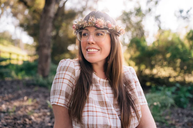
the light does half my job and the shade does the other half. I mostly carry the bag.
Anaheim · 33.85° N · 117.76° W
Oak Canyon Nature Center
Winding oak-lined trails where the city quietly disappears, with light coming through the canopy in a way that does half my job for me. It's a wildlife sanctuary, so pets stay home and every session needs a permit from the city first.
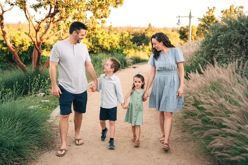
Citrus Ranch Park
Tustin City views
never crowded, which I probably shouldn't be telling you.
Tustin · 33.76° N · 117.79° W
Citrus Ranch Park
Hilltop grass, old citrus groves, and a gazebo looking out over the city. The light here is unusually generous, soft and warm with a clean backdrop in whatever direction you point.

Gum Grove Park
Seal Beach Eucalyptus
all eucalyptus, zero koalas. I check every single time.
Seal Beach · 33.75° N · 118.09° W
Gum Grove Park
A pocket of tall eucalyptus tucked into a Seal Beach neighborhood a mile or so back from the sand, with dappled shade and paths that wander just far enough to feel like a hike. It's the Seal Beach option that lets the dog come.
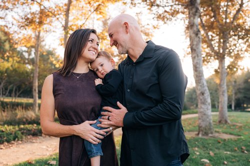
Jeffrey Open Space Trail
Irvine Old orange groves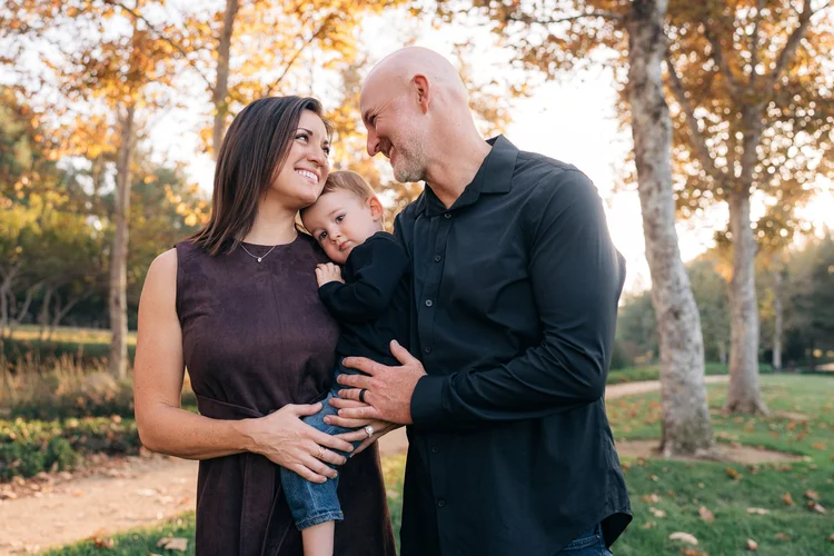
four backdrops, one parking spot.
Irvine · 33.70° N · 117.75° W
Jeffrey Open Space Trail
Fields, tree-lined trails, and seasonal wildflowers, with more visual variety packed into one walk than almost anywhere else local. Four completely different backdrops without anybody getting back in the car.
How it got here
Before the houses went in, this stretch was orange groves on the old Irvine Ranch, and a few of the old trees and weathered wooden posts are still standing out there. Look down while you walk, too: panels set into the path tell about five hundred years of the ranch's history. Most people jog right over them.

William R. Mason Regional Park
Irvine Lake
three hundred acres and I use exactly two corners. they're the good corners.
Irvine · 33.65° N · 117.84° W
William R. Mason Regional Park
A lake ringed by a mix of trees that turn nicely in fall, and tucked away from it, a secluded wildflower patch that comes alive every spring. Two very different sessions in one park, depending on the season.
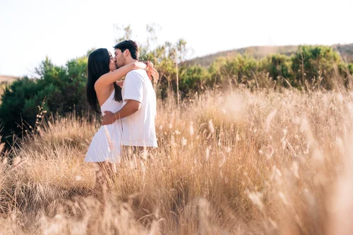
Quail Hill Park
Irvine Rolling hills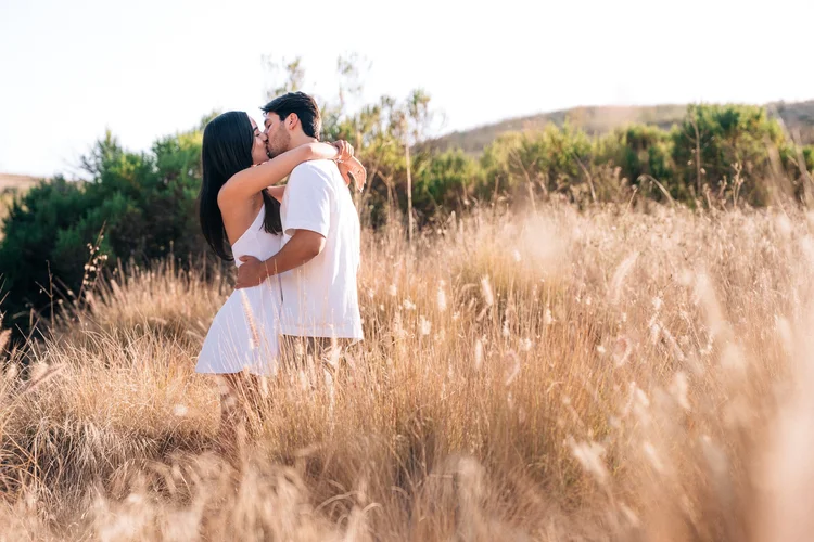
five minutes off the 405 and it looks like the opening shot of a western.
Irvine · 33.66° N · 117.78° W
Quail Hill Park
Quintessential California rolling hills, golden in summer and fall and a shocking green after the winter rains. It's close to everything and still feels wide open, all sky and hillside in every direction.

Serrano Creek Park
Lake Forest Cinematic light
smells exactly like an expensive candle, except it's free.
Lake Forest · 33.65° N · 117.68° W
Serrano Creek Park
A genuinely impressive eucalyptus forest tucked into the middle of Lake Forest. The light filters down cool and green and layered, and it photographs like a set.
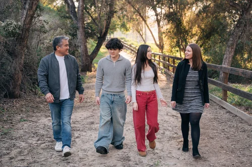
Oso Parkside Path
Laguna Hills Always empty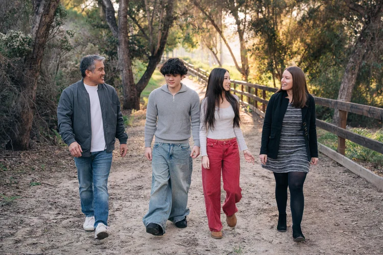
a cowboy once rode through the background here. on a horse. it's in the gallery.
Laguna Hills · 33.60° N · 117.70° W
Oso Parkside Path
Perpetually deserted and always beautiful. Filtered light along a grassy pasture, a rustic fence, and a quiet that makes it feel less like Orange County and more like somewhere you'd invent if you could.

Thomas F. Riley Wilderness
Coto de Caza Oak groves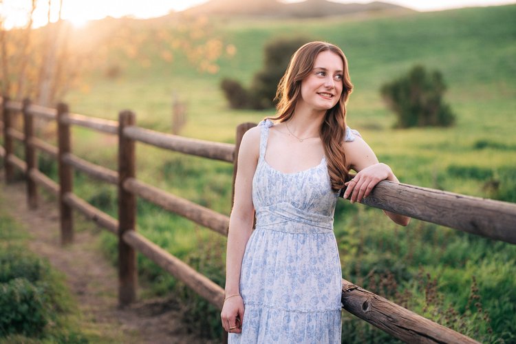
every senior leans on this fence eventually. it's practically tradition.
Coto de Caza · 33.56° N · 117.59° W
Thomas F. Riley Wilderness
Wild rolling hills, grand old oaks, and trails that wander off without a rooftop in sight. Families get room to run, and seniors get a dozen backdrops in one walk, fence included.
Urban and architecture · Stops 24 to 26 · North to south
for anyone whose idea of a good time does not involve a tide chart.

Lido Marina Village
Newport Beach Permission required
the boats back there cost more than my car. we're just borrowing them.
Newport Beach · 33.62° N · 117.92° W
Lido Marina Village
White-brick boutiques, flower walls, and wooden docks with electric boats drifting past, less like a photo shoot and more like a very stylish afternoon out. It's private property, so every session here needs permission first.

Balboa Fun Zone
Newport Beach Frozen bananas
yes, we can stop for a frozen banana. it's in the timeline.
Newport Beach · 33.60° N · 117.90° W
Balboa Fun Zone
Frozen bananas, Balboa Bars, an arcade that has not meaningfully changed since 1936, and a Ferris wheel that lights up as the sky goes purple. A natural fit for families and couples who want their photos to look like a day out.
A little history
Newport's frozen banana story starts right here on the Peninsula, where a local historian credits Don Phillips with the very first stand in 1940. The shops across the bay on Balboa Island have argued about who was really first ever since, and the rivalry went on to inspire the banana stand on Arrested Development.
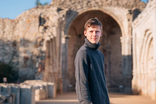
Mission San Juan Capistrano
San Juan Capistrano Historic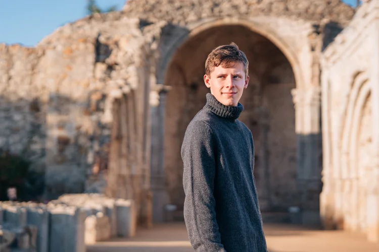
the only mission in california with its own theme song. ask your grandma to hum it.
San Juan Capistrano · 33.50° N · 117.66° W
Mission San Juan Capistrano
Stone arches, lily ponds, and the ruins of the Great Stone Church. Grand and quiet at the same time, and the old stone glows warm in the last hour of light.
A little history
Founded in 1776, the same year as the country. The little Serra Chapel went up in 1782 and is the oldest building in California still in use. The Great Stone Church took nine years to build and stood for six before the 1812 earthquake brought it down, and the ruins are what you're standing next to. The mission still celebrates the swallows every March 19.
Still to come
Five I haven't shot. Yet.
All twenty six above earned their spot through real sessions, which is why they get photos and these don't. These five are scouted on foot and waiting on the right family to say yes.
Orange
Old Towne Orange
A square mile of vintage storefronts around a fountain plaza that Hollywood keeps borrowing as small-town America.
Costa Mesa
Noguchi Garden
A hidden sculpture garden between office towers. Sandstone, concrete, desert plants, shadows that do half the work.
Newport Beach
Upper Newport Bay
Golden grasses and quiet water that go full coastal countryside at sunset. Mustard blooms in spring.
Newport Beach
Civic Center Park
Rolling lawns, modern architecture, and a herd of giant white bunny sculptures that toddlers treat as a playground.
San Clemente
Calafia Beach
Driftwood, bluffs glowing at sunset, and that rumble when a train slides past between the sand and the hills.
book one and you get first dibs on a place I've never photographed.
Or somewhere that's yours.
Orange County is big and your family's story is entirely your own. If there's a place that already means something, a neighborhood you grew up in, a trail you hike every weekend, a coffee shop that's basically yours at this point, I'm always up for somewhere new. The best location is almost always the one that feels the most like you.
Session details and pricing are over here.
Sessions have started at
The backyard you're about to move out of
A donut shop on a Saturday morning
Grandma's kitchen table
The trail you hike every weekend
Your kid's favorite playground
The pier where you got engaged
A farmers market you never miss
Somewhere I've never been
Found one?
Tell me which stop caught your eye and roughly when you're thinking. I'll come back with the light, the tide, and what's open.
Tell me about your spotDaniel Wesley